Rezatec
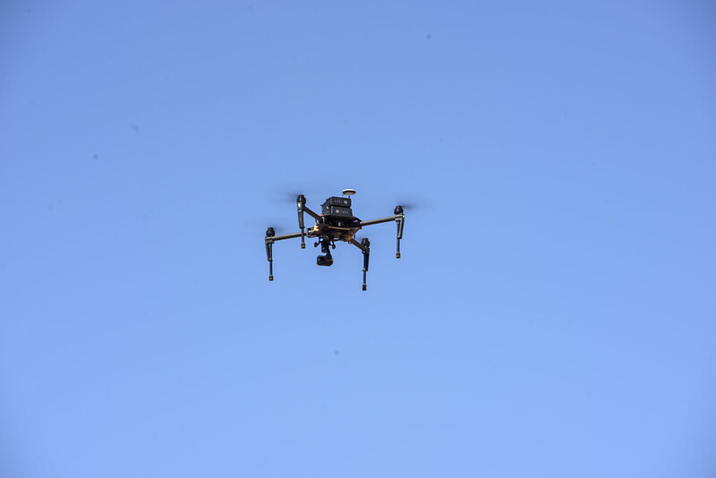
A view from above
 Innovations
CIMMYT scientists use high-powered drones and space satellite imagery to accelerate crop improvement, fight pests and diseases and help farmers make better crop management decisions.

New mobile app helping Latin American farmers increase crop yields by 12%
Innovations
Source: Real Wire (11 Feb 2020)
Mexican farmers in Yaqui Valley use smartphone app with satellite data to make decisions about irrigation and crop management.
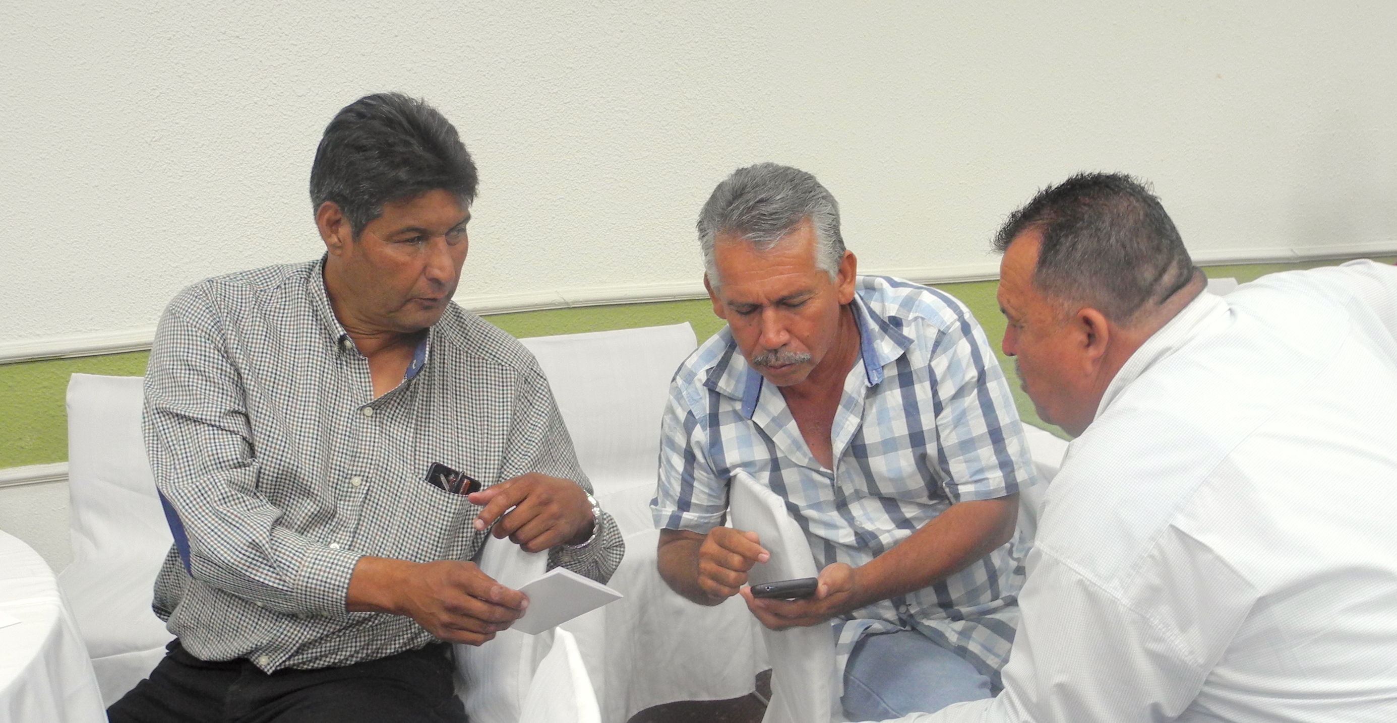
New mobile technology to help farmers improve yields and stabilize incomes
Innovations
The COMPASS smartphone phone app uses data from farmers and from satellites to provide precise crop management advice.