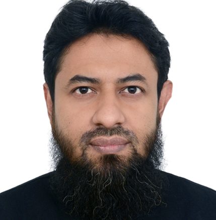
Mustafa Kamal is a GIS and remote sensing analyst in CIMMYT, leading the GIS, remote sensing and data team in Bangladesh as part of the Sustainable Agrifood Systems (SAS) program’s Innovation Sciences in Agroecosystems and Food Systems theme across Asia.
Kamal’s core expertise is in earth observation and geospatial data science, scientific and cloud computing, webGIS, Unmanned Aerial Systems (UAS), advance landcover-landuse classification, and tool development. He contributes to research and innovation of irrigation and agro-meteorological advisory, crop identification and yield prediction, disaster and crop monitoring, landscape diversity, and climate analytics. He has published many peer-reviewed papers, reports, and training manuals, and provided teaching/training.
Kamal’s interdisciplinary background in urban and rural planning and disaster management helps him to integrate and lead an interdisciplinary team to provide solutions for sustainable agrifood systems.
